
Zoning
Zoning as the invisible architect
How setback rules, height limits and use districts silently dictate the shape of a building before an architect ever picks up a pencil.
Urban architecture history, explained plainly
Gehanu studies the zoning codes, building trends and municipal habits that quietly shaped the blocks, facades and skylines around us. No jargon left unexplained, no assumption left unquestioned.
"A rowhouse block, a highway cut through a neighborhood, a sudden row of glass towers. None of it is random. This is where we start asking why."
Editorial note, Gehanu research deskMost people walk past the same three building types every day without noticing the pattern. A setback here, a cornice line there, a sudden change in roof pitch halfway down a block. These are not stylistic accidents. They are the visible residue of ordinances, fire codes, lending practices and political fights that mostly happened decades before anyone reading this was born.
Gehanu exists to make that residue readable. We trace zoning maps back to their first drafts, follow building trends across the decades that produced them, and connect the dots between a paperwork decision made in a planning office and the street you actually stand on.
Read why we built thisFour recurring forces explain most of what you see on a walk through any older city district. We built our curriculum around them instead of around trivia.
How setback rules, height limits and use districts silently dictate the shape of a building before an architect ever picks up a pencil.
Standardized lot widths and party-wall construction turned entire neighborhoods into repeating rhythms of brick and stone.
Fire escapes, masonry requirements and staircase widths trace back to disasters, not aesthetics.
Mid-century road planning rerouted entire districts and left visible scars still legible today.
Building permits, insurance maps and council minutes are the raw material of urban history. We show you how to read them.
How obsolete industrial and residential building stock gets reclassified, renovated and reintroduced into the market, and what that says about a city's priorities.
Every module lives inside one of six broad categories. Expand any one below for a short description of what it covers.
The origin of use districts, the difference between a variance and a rezoning, and how Euclidean zoning became the default framework in cities that had never separated land uses before. We look at original ordinance text alongside the maps that followed it.
Why staircases are the width they are, why certain facades stopped using timber, and how insurance underwriters shaped construction standards long before formal government codes existed in most municipalities.
How narrow lot subdivision produced repeating rowhouse forms, and how reform movements responded to overcrowding with light-and-air requirements that still shape floor plans today.
Slum clearance programs, superblock planning and the arrival of the automobile as an organizing principle for entire districts, examined through the plans that were drawn and the ones that were only partially built.
How historic district designation changes what an owner is allowed to alter, and how former warehouses and factories get reclassified for residential or mixed use without changing their outer walls.
A practical method for standing on any street and dating its buildings roughly by eye, using cornice details, window proportions, setback lines and material shifts as evidence.
This is an informal planning tool, not an enrollment form. Adjust the fields below to see how a self-directed study path might be organized. Results are illustrative only and meant to help you think about pacing.
Suggested path
Set your fields above and press the button to see a sample study sequence.
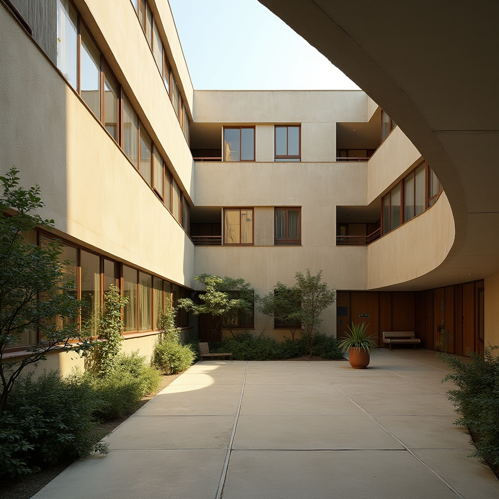
A rotating set of streets, blocks and buildings we use as recurring reference points across different modules.



Six program tracks. Self-paced or guided. Built from primary sources, not summaries of summaries.
You do not need prior background in architecture or planning to begin. Most learners start with a specific question: why does their block have a strange setback, why did a corner building get demolished, why do two adjacent streets feel so different. We built the programs to meet that kind of question directly.
From there, the material widens naturally into the broader zoning and building-trend history that explains the pattern, not just the single case.
See all programsWe use cookies to operate this site and, only with your permission, to understand aggregate usage. You can change this choice at any time from the footer link.
Required for basic site function such as remembering this preference. Cannot be disabled.
Helps us understand which pages are read, in aggregate, with no personal profiling.
Remembers small display choices, such as accordion or menu state, between visits.